La Barre des Chaberts

BerFran
User


Length
19.2 km

Max alt
786 m

Uphill gradient
644 m
Km-Effort
28 km

Min alt
331 m

Downhill gradient
643 m
Boucle
Yes
Creation date :
2022-02-09 07:47:08.0
Updated on :
2022-02-09 17:20:12.209
--
Difficulty : Very difficult

FREE GPS app for hiking
 SityTrail
IGN / Geographical institutes
SityTrail Plus
The world is yours!
About
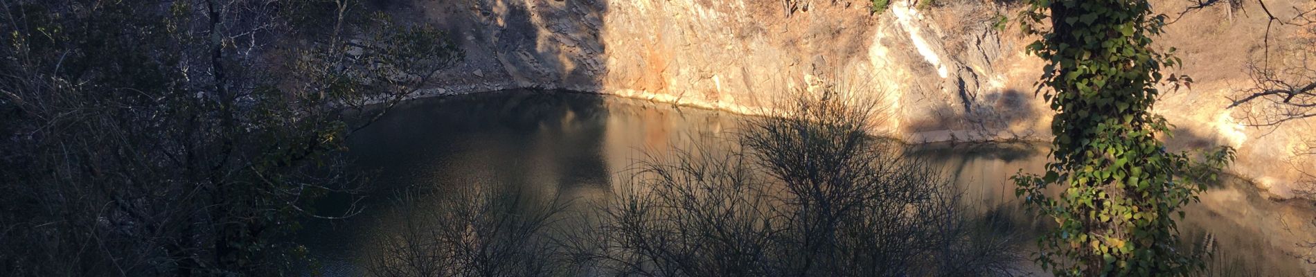
Trail Walking of 19.2 km to be discovered at Provence-Alpes-Côte d'Azur, Var, La Roquebrussanne. This trail is proposed by BerFran.
Photos

Positioning
Country:
France
Region :
Provence-Alpes-Côte d'Azur
Department/Province :
Var
Municipality :
La Roquebrussanne
Location:
Unknown
Start:(Dec)
Start:(UTM)
257573 ; 4801893 (32T) N.
Comments